Big Data, Big Cities: Keeping Up with the Growth, Part 1
Hailey Russell
Census, Data, Urban Development
November 9, 2021
Big Data, Big Cities: Keeping Up with the Growth, Part 1
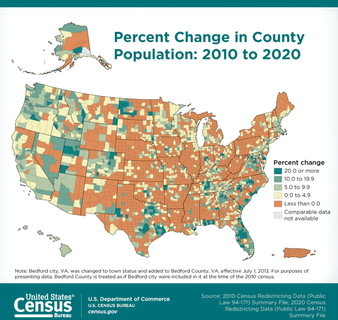
Population change was one of the biggest topics in 2021 after the roll out of the new census data. These changes included mass exoduses of people from California and New York who moved to places such as Texas, Idaho, Georgia, and, of course, Florida. Urban planning is of interest to me, so when I heard this, my mind immediately went to how these metropolitan areas were handling the rapid growth. While researching, I quickly realized that the majority of urban planning departments aren’t utilizing the enormous amount of data available to them. Instead, they are following practices that are a dated and don’t allow them to quickly address some of the needs of their communities. What would cities look like if they began using the ALL of the data available to them?
How Can Big Data Help Growing Cities?
Don’t get me wrong, city planners have been collecting and analyzing data for ages, but with growing technology, but they could do so more efficiently and create MORE data-driven solutions. These growing metropolitan areas were experiencing issues before these population changes, and these issues only grew as the cities did.
TRANSPORTATION
Traffic and transportation issues are some of the biggest issues these areas have. Congested streets and highways are the main gripe that individuals in areas such as Atlanta and Los Angeles complain about. Who likes getting off work at 5pm and not getting home until 7pm? Absolutely no one. There are many data companies that collect data on traffic behavior which could allow cities to figure out what and who is the cause of the congestion. Answering these questions can allow a city to figure out whether they should add an extra lane to a highway, provide additional parking for certain areas, or schedule road work properly. As far as public transportation, big data could help improve and optimize transportation operations. With the use of cellular data, fare cards, and mobile fare apps, many cities can identify traveler patterns and areas that need improvement. Cities could deploy more staff and increase the frequency and number of buses and/or trains that run in certain areas. A strong reliance on big data will allow planners to stay on top of changes and ahead of problems.
LANDSCAPE
Another innovative and interesting way that big data can be used is seeing how people interact with the green spaces around them to help identify areas that could benefit from more greenery. With the use of cellular data, a city can see which public parks and spaces are being utilized the most and how people are interacting with those areas. Using Google map data, they can quite literally go street to street and count the trees in each neighborhood to help them identify “heat islands,” or locations where structures, which urban areas have plenty of, absorb and re-emit the sun’s heat. Heat can affect the way people behave and introducing more natural landscapes to help regulate the temperature can positively impact a community.
DEVELOPMENT
Potential commercial and residential development areas can also be identified using big data. City planners can gauge which type of development is needed in the city, and developers can assess whether it would be a worthwhile investment. On the other hand, big data can also prevent cities from investing in and taking on projects that aren’t necessary allowing them to spend their money more wisely. In lieu of investing in a new building that the community doesn’t need, a city could place more streetlights in certain areas, renovate a city park, or beautify an area which would be more beneficial to their community and make their constituents happier.
So long as a city is growing, they can create data driven solutions to handle the growth. Now, big data will not take away the need to be in and have interactions with the community, but, if used wisely, big data can be used as a resource to help better identify and predict their needs. Cities who use this data to rapidly address community needs and population growth to ensure they maintain their cities and retain their population. In part two of this series, we’ll go into specific examples of cities that are currently taking advantage of the data being collected around them and how it has helped them to transform. If you’d like to see how Causeway Solutions can assist you in better understanding your community and meeting their needs, contact us. Big data helps build big and happy cities.
References
- https://hdsr.mitpress.mit.edu/pub/1um18ajd/release/1
- https://www.brinknews.com/data-analytics-in-urban-planning-new-tools-for-old-problems/
- https://qz.com/1584774/why-data-analytics-is-the-future-of-smarter-more-people-friendly-urban-planning/
- https://medium.com/dataseries/presenting-data-for-evidence-based-urban-planning-and-regulation-17fd26914153
- https://planningtank.com/city-insight/big-data-solves-urban-planning-challenge
- https://morphocode.com/data-urbanism/
- https://www.smartcitiesdive.com/ex/sustainablecitiescollective/digital-city-dream-or-nightmare/1074326/
- https://www.census.gov/library/stories/2021/08/more-than-half-of-united-states-counties-were-smaller-in-2020-than-in-2010.html
To learn more, visit [Causeway Solutions](https://www.causewaysolutions.com) to get started!